About me
I'm a data scientist and researcher working on projects in Earth Observation and Machine Learning. I use big data cloud computing (Google Cloud Platform/Google Earth Engine) to extract useful features from time-series of publicly available satellite imagery and build near real-time monitoring applications. I like to use image processing and machine learning to solve to complex problems, create cloud-native automated pipelines and deliver webGIS apps to visualise spatio-temporal data (Django, Leaflet, PostgreSQL/PostGIS).
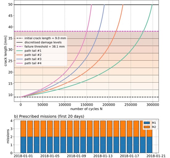
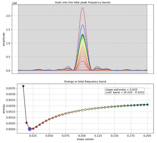
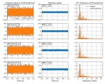
I also have experience in time-series regression problems (LSTMs, autoencoders) and optimisation of decision-making problems (Markov Decision Processes) using Reinforcement Learning (Deep Q-learning, multi-agent).
, RL optimisation
Interests
- 🐍 Python programming
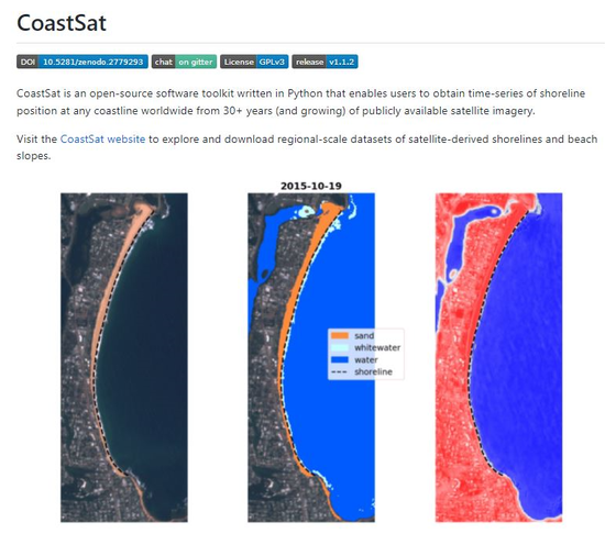
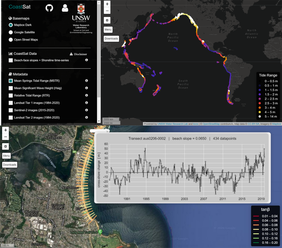
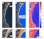
- 🛰️ Earth Observation
- 📈 Machine Learning
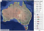
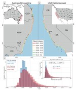
- 🌊 Coastal/Water Engineering
- 🌏 WebGIS applications
Education
-
PhD in Remote Sensing / Coastal Engineering, 2022
University of New South Wales (UNSW)
-
MSc in Environmental Engineering (Specialisation in Remote Sensing), 2017
Ecole Polytechnique Fédérale de Lausanne (EPFL)
-
BSc in Environmental Engineering, 2015
Ecole Polytechnique Fédérale de Lausanne (EPFL)